
The Mirna River: valley, Motovun Forest and estuary
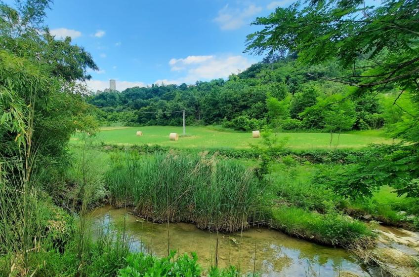
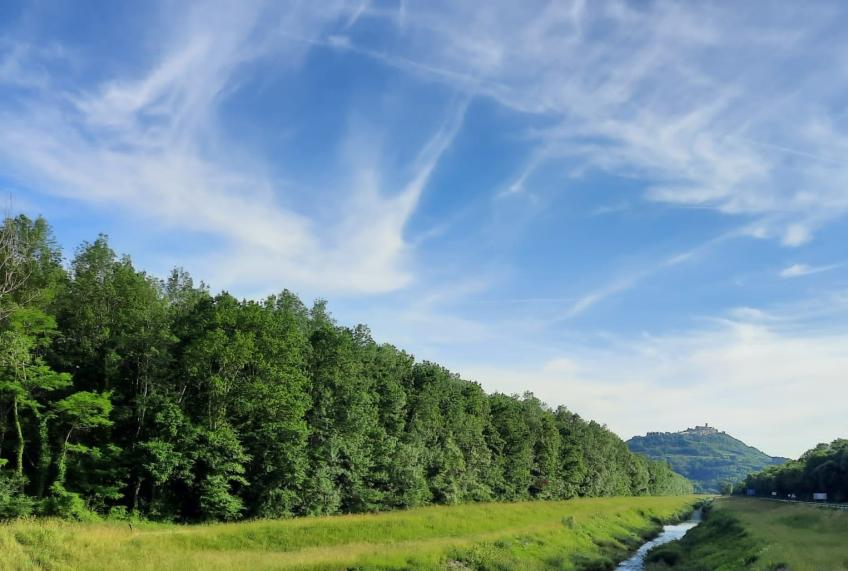
The Mirna flows through northern Istria to the sea near Novigrad. Its course takes in narrow valleys, Motovun Forest and a brackish estuary with waterbirds.
The Mirna is about 53 kilometres long. From the Buzet area it flows west through the valley below Motovun to its mouth at Antenal, near Novigrad.
From the Buzet area to the lowland forest
Flysch and limestone occur in the upper catchment around Buzet. Heading west, the Mirna passes through narrow valleys before reaching the plain beneath the hills. Woodland grows beside the river here, while cultivated land occupies part of the valley floor.
Motovun Forest grows on damp lowland soil along the Mirna and in the valley of its tributary, the Butoniga. Pedunculate oak, narrow-leaved ash and elm grow in this woodland habitat, whose soil also supports Istrian truffles.
Motovun rises above the low-lying river valley and forest. Oprtalj and Grožnjan also stand in the hills above the valley. Reaching their old centres involves climbing from the plain and leaving the riverbed behind.
The brackish estuary near Novigrad
In its lower reaches, the Mirna follows a regulated channel towards the sea. At the estuary, river water mixes with seawater and the tides affect water levels. The freshwater upper reaches and the brackish mouth support different aquatic life: trout inhabit the upper river, while eels also occur at the estuary.
You can watch waterbirds on the wetlands around the river mouth. Keep your distance rather than approaching flocks on the shore or in the shallows.
Distance from Bale: 50 minutes driving (68.9 km)
Total Rating from 0 reviews
Be the First to Leave a Review
Thank You for Your Review! It will become publicly available after verification.