
Three Istrian rivers: Mirna, Dragonja and Raša
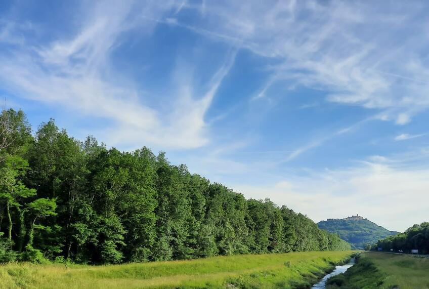
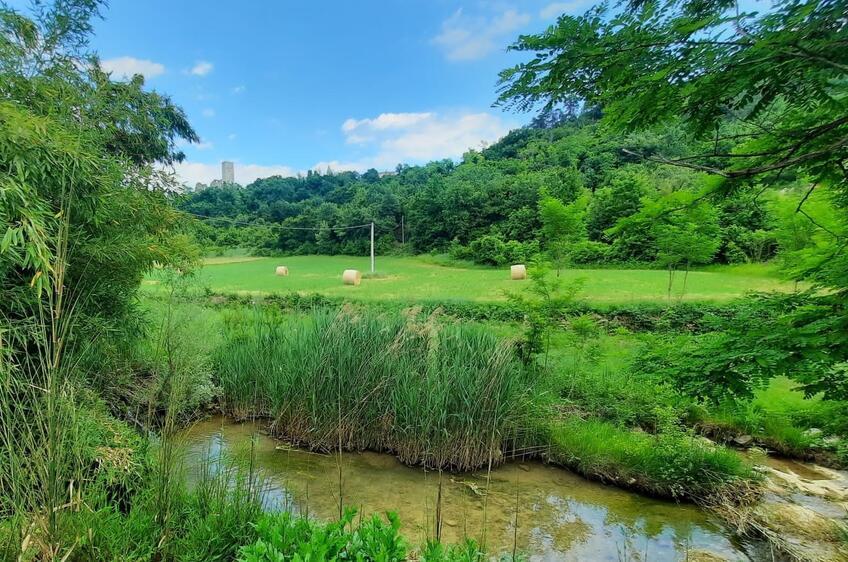
The Mirna, Dragonja and Raša flow from Istria’s hills to the sea. Choose a hike, a hill-town visit or an outing to Raša Bay.
Their mouths lie on different sides of the peninsula.
| River | Part of Istria | Mouth |
|---|---|---|
| Mirna | Northern Istria | At Antenal, near Novigrad |
| Dragonja | Northwestern Istria | Piran Bay, beside the Sečovlje salt pans |
| Raša | Eastern Istria | Raša Bay |
Mirna: hiking near Buzet and the view from Motovun
The Mirna is about 53 kilometres long. From the Buzet area it flows west through the valley below Motovun to the sea. Motovun Forest grows on the low ground beside the river and its tributary, the Butoniga. Pedunculate oak, ash and elm grow here, with truffles in the soil.
The Seven Waterfalls Trail along the upper river starts in Buzet and makes a loop through the surrounding villages and Kotli. The marked route is about 13.3 kilometres long. Allow around five hours. The route includes steep sections and water crossings.
Motovun rises above the river and Motovun Forest. You explore its old town on the hill, separately from the hiking loop near Buzet.
Dragonja: a flysch valley and changing waterfalls
The Dragonja has a main channel 28 kilometres long. Its upper network of streams spreads through the Slovenian part of Istria. At Škrline, the Velika Rokava, also known as the Dragonja, meets the Mala Rokava, or Pinjevec.
Softer marl alternates with harder sandstone in the valley. Water wears them away at different rates, forming rocky steps with cascades and pools in the channel. Parts of the river dry up in summer, while heavier winter rain can raise the water level quickly and flood the surrounding land. The waterfalls change with the amount of water.
The lower river crosses cultivated lowland in the Croatian-Slovenian border area. People diverted it into the St Odorik canal, which takes the Dragonja to the sea along the southern edge of the Sečovlje salt pans.
Raša: the river valley, mining town and sea inlet
The Raša takes that name near Potpićan and flows 23 kilometres towards the sea. Its catchment extends to the slopes of Učka and Ćićarija. River deposits on the valley floor allow water to flow above ground through limestone country. In the lower valley, reclaimed fields occupy part of the former marshland.
Raša Bay continues the old river valley, which the sea flooded. To visit this coastal part of the landscape, you can choose Trget, a fishing village on the bay. Its name refers to the former transport of people and goods across the inlet.
The mining town of Raša lies in a side valley of the Krapna stream. It was built in the 1930s to serve the mines, with workers’ houses and a town square.
Hvala na korisnoj informaciji.
jako glupo
Thank You for Your Review! It will become publicly available after verification.